Tucked away in the remote northern reaches of British Columbia, the Jennings River area is a hidden gem for wilderness lovers, thrill-seekers, and conservationists alike. Flowing through the rugged Cassiar Mountains and into the pristine waters of Teslin Lake, this 150-kilometer river offers more than just breathtaking views—it’s a gateway to one of Canada’s last untouched frontiers.
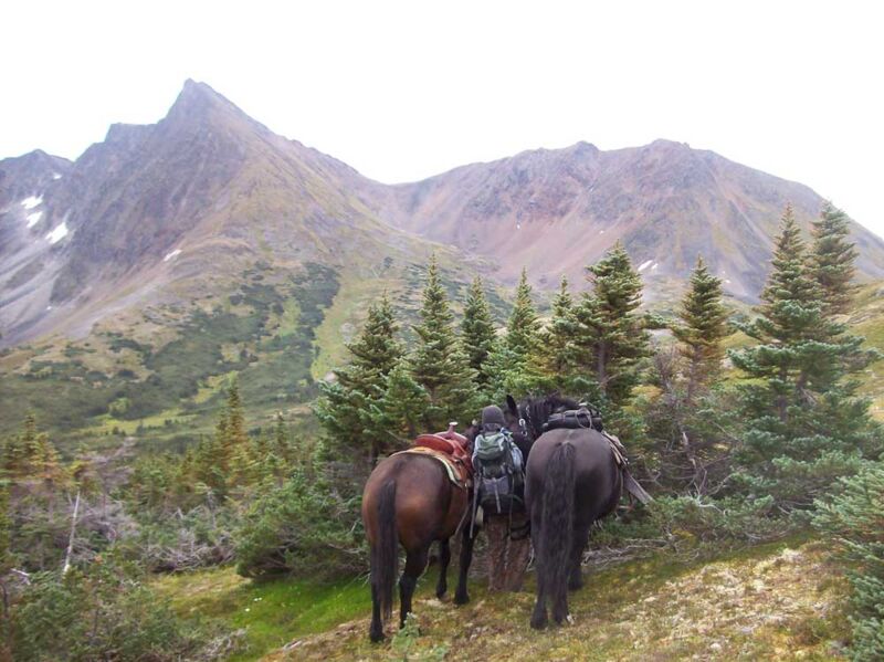
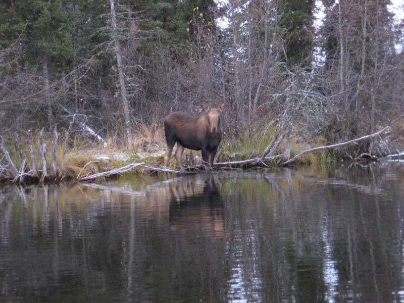
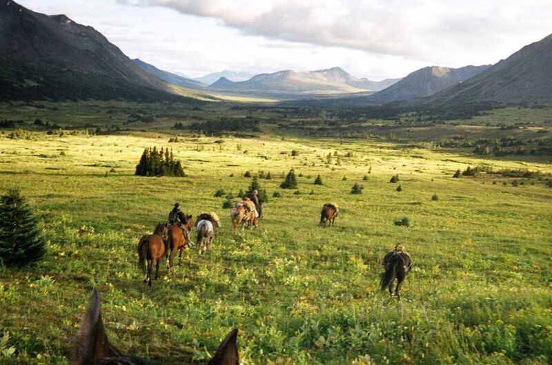
Named after civil engineer William T. Jennings, who scouted routes to the Yukon in the late 1800s, the Jennings River is steeped in history and natural wonder. Its headwaters begin as tiny alpine creeks and ponds, winding through moose habitat and black spruce forests before joining the Hayes and Teslin Rivers. Whether you’re paddling its fast-moving waters, hiking the alpine meadows, or tracking stone sheep across craggy peaks, the Jennings River area promises an unforgettable experience.
This guide will take you deep into the heart of the Jennings River region—exploring its geography, ecology, outdoor adventures, and cultural significance. Whether you’re planning a canoe expedition, a hunting trip, or simply dreaming of remote wilderness, this comprehensive resource will help you discover everything the Jennings River has to offer.

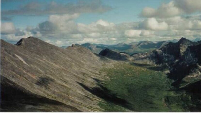
What sets the Jennings River apart from other wilderness areas in British Columbia is its raw, unfiltered beauty. The river itself is roughly 150 kilometers long, beginning as a series of alpine creeks and ponds before gathering strength and flowing through deep valleys and forested plateaus. It eventually joins the Hayes River, which then feeds into Teslin Lake, one of the largest lakes in the region.
Surrounding the river are vast stretches of black spruce forest, tundra, and subalpine meadows. The terrain is shaped by ancient glacial activity, resulting in dramatic ridges, moraines, and kettle lakes. Wildlife is abundant, with frequent sightings of moose, caribou, grizzly bears, wolves, and stone sheep.
One thought on “Beautiful British Columbia”
Comments are closed.